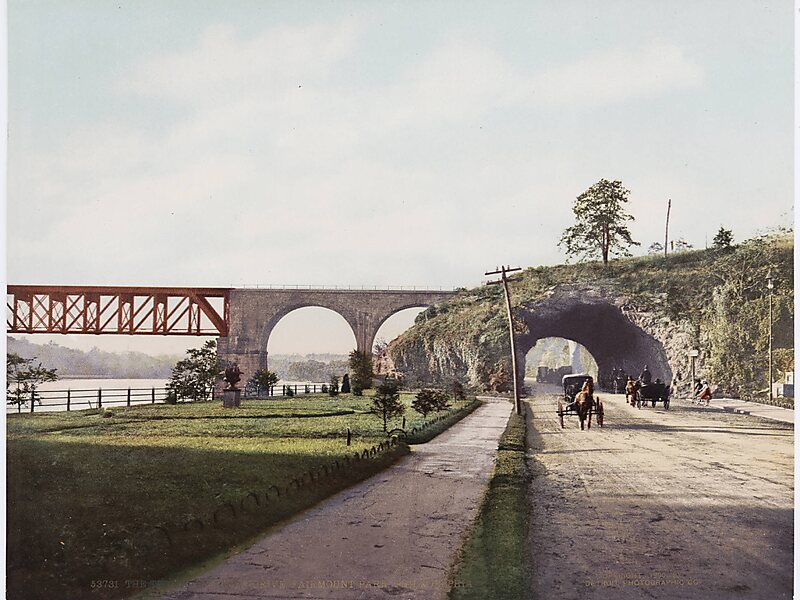
Wissahickon Valley Park contains 2,042 acres of parkland in Northwest Philadelphia, including the Wissahickon Creek from its confluence with the Schuylkill River to the northwestern boundary of the city with eastern Montgomery County. Visitors travel by foot, bicycle and horse along Forbidden Drive where motor vehicles are not allowed. Side trails off Forbidden Drive lead up into the wooded gorge above the creek along a total of 50 mi of trails. Philadelphia Parks & Recreation manages the park as the second largest part of the city's parkland areas, after the slightly larger Fairmount Park. The Wissahickon Valley was designated a National Natural Landmark in 1964, including 1,250 acres of the parkland.
Descargar Descargar Ver másWikipedia https://en.wikipedia.org/wiki/Wissahickon_Valley_Park
Coordenadas 40°1'0.809" N -75°12'26.346" E