High Stile is a mountain in the western part of the Lake District in North West England. It is the eleventh-highest English Marilyn, standing 807 metres high, and has a relative height of 362 metres.
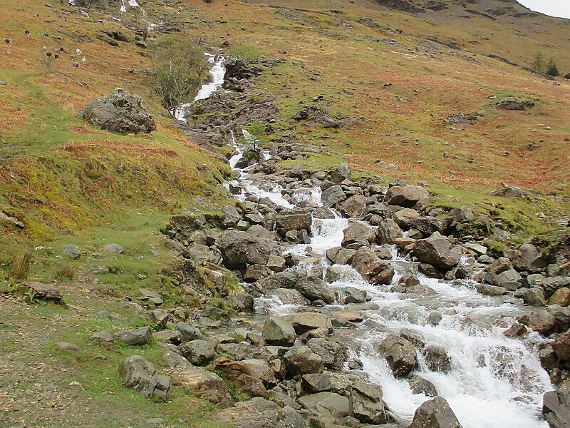
It is the highest in the range of fells extending north-west from Great Gable towards Loweswater, and together with its satellites, Red Pike and High Crag, forms a trio of fells overlooking the lake and village of Buttermere. On this side are high crags, wild combes and a small tarn, Bleaberry Tarn. High Stile is most easily ascended as part of a traverse of the three fells.
Wikipedia https://en.wikipedia.org/wiki/High_Stile
Address CA13 9, United Kingdom
Coordinates 54°31'17.561" N -3°17'16.228" E