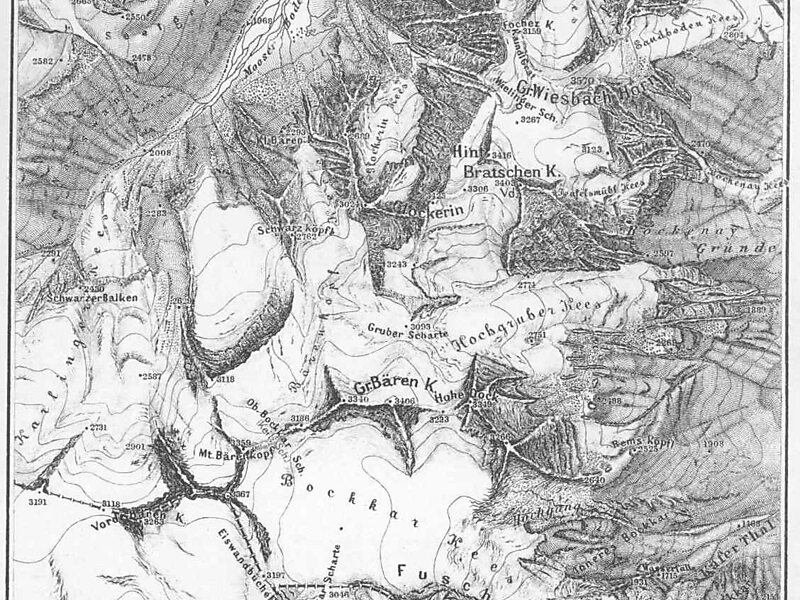
The Hinterer Bratschenkopf is a mountain in the Glockner Group on the Fusch-Kaprun ridge in the High Tauern, a high mountain range in the Austrian Central Alps. According to the listed sources it is 3,412 metres high, but the Austrian Federal Office for Metrology and Survey gives its height as 3,413 metres. The mountain lies in the Austrian state of Salzburg. It appears from the north, east and south as a gently curved firn summit, but from the west it has a mighty, 1,400-metre-high and 40 to 60° rock face. A steep, 500-metre-long knife-edge ridge bears away from the mountaintop to the north. Due to its close proximity to the Heinrich Schwaiger Haus, the summit is a popular viewing point. The peak was first climbed on 18 September 1869 by the Munich Alpinist, Karl Hofmann, the Prague businessman, Johann Stüdl, and mountain guides Thomas Groder and Josef Schnell from Kals am Großglockner.
Download Download See moreWikipedia https://en.wikipedia.org/wiki/Hinterer_Bratschenkopf
Address 5710, Austria
Coordinates 47°9'4.546" N 12°44'35.174" E