James Ross Island is a large island off the southeast side and near the northeastern extremity of the Antarctic Peninsula, from which it is separated by Prince Gustav Channel. Rising to 1,630 metres, it is irregularly shaped and extends 64 km in a north–south direction. It was charted in October 1903 by the Swedish Antarctic Expedition under Otto Nordenskiöld, who named it for Sir James Clark Ross, the leader of a British expedition to this area in 1842 that discovered and roughly charted a number of points along the eastern side of the island.
Download Download See more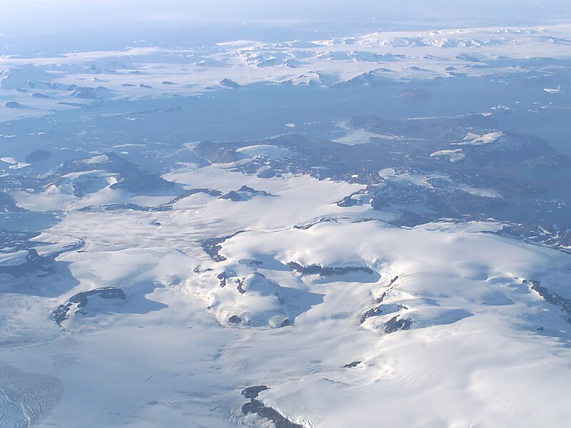
Wikipedia https://en.wikipedia.org/wiki/James_Ross_Island
Coordinates -64°9'43.704" N -57°5'28.922" E

