Keren Naftali

Local nameקרן נפתלי
LocationNebi Yosha Forest

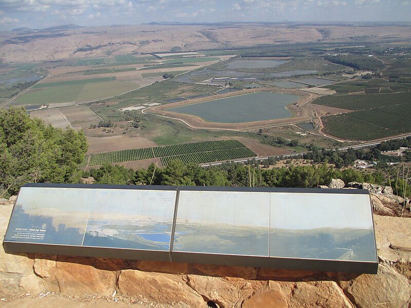
Harrawi was a Palestinian Arab village in the Safad Subdistrict. It was depopulated during the 1948 Arab-Israeli War on May 25, 1948 by the Palmach's First Battalion of Operation Yiftach. It was located 18 km northeast of Safad.

In 1948 it had a population of 290.

Tags Peak
Download Download See more
Keren Naftali lookout @ Dr. Avishai Teicher

More information and contact

Wikipedia https://en.wikipedia.org/wiki/Harrawi

Address Israel

Coordinates 33°5'26.555" N 35°33'46.579" E

Sygic Travel - A Travel Guide in Your Pocket

Download for free and plan your trips with ease
Or just search for "Sygic Travel" in App Store or Google Play.
Sygic Travel Maps The world's first map app tailored for travelers
Use the app Not now